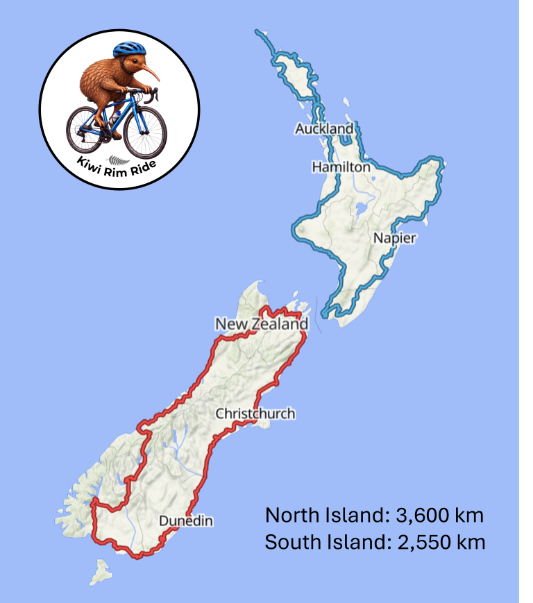
The Kiwi Rim Ride route circumnavigates the North and South Islands counterclockwise on the outermost roads. The route can be downloaded here. The 2026 route only includes paved roads. A future update will include an unpaved road option.
The route tries to follow the outermost paved roads around both islands. This means in some areas there are "U" shaped diversions. The goal is to keep to the spirit of the ride. Apologies for the route through Lyttleton which we had to do to keep to this principle!
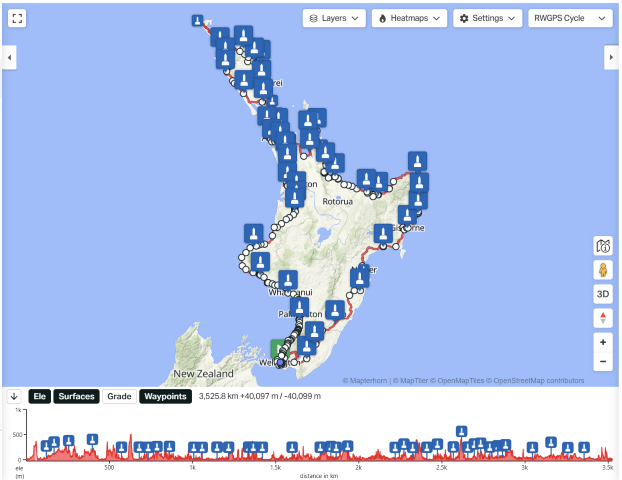
As shown under Grand Départ, the start point for the North Island (~3,600 km) is the Wellington sign at Wellington harbour; for the South Island (~2,550 km) it is the Picton Memorial Park adjacent to the Picton Ferry. If you are riding as an individual time trial (ITT) you can start anywhere an the route.
To ensure that riders follow the outermost roads and don't take short cuts, the GPX files are embedded with 46 intermediate checkpoints in the North Island and 19 in the South Island. At each checkpoint your Brevet Card must be notorised (or do a purchase and record the receipt number) and a GPS reference photo must be taken. The list of checkpoints can be downloaded here. NOTE: If you arrive at a checkpoint and there is nobody around to notarise the Brevet Card, just make a note that there is only a GPS photograph.
Under Downloads we have additional information such as GPX files with supply points, cue sheets, and more.
Since we are using public roads, and there are limited options in many places, please review the assessment of Road Safety Risks.